The Sky’s Digital Scouts: How Drones Are Revolutionising Weather Forecasting
Weather prediction has always been a dance between human ingenuity and nature’s complexity. As someone who has spent years observing societal transformations and technological adoption patterns, I find myself particularly fascinated by how unmanned aerial vehicles are quietly revolutionising one of humanity’s oldest scientific pursuits. The marriage of cutting-edge drone technology with atmospheric science represents more than just another technological advancement—it embodies our perpetual quest to understand and predict the forces that shape our daily lives.
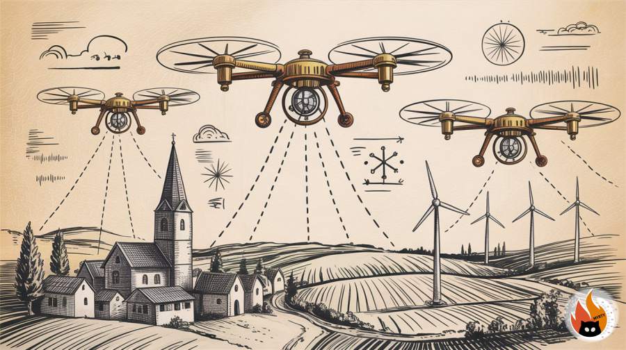
The emergence of drone meteorology marks a pivotal moment in atmospheric science, offering unprecedented opportunities to gather precise weather data whilst addressing the limitations of traditional forecasting methods. These aerial platforms are transforming how we monitor, understand, and predict weather patterns across the globe.
From Balloons to Bytes: The Evolution of Atmospheric Observation
The journey of atmospheric observation began centuries ago when intrepid scientists launched the first weather balloons into the unknown skies. These early pioneers, much like the gender theorists who challenged established paradigms in my own field, dared to venture into uncharted territories to expand human knowledge. The parallels between scientific revolution and social transformation never cease to amaze me.
Traditional meteorological observations relied heavily on ground-based stations, weather balloons, and satellite imagery. Whilst these methods provided valuable insights, they left significant gaps in our understanding of atmospheric dynamics. Weather balloons, launched twice daily from stations worldwide, could only provide snapshots of atmospheric conditions along their predetermined paths. Satellites, despite their global coverage, struggled to capture fine-scale atmospheric phenomena and near-surface conditions with the precision required for accurate local forecasting.
The introduction of unmanned aircraft systems into meteorological research began transforming this landscape in the early 2000s. Initial applications focused on hurricane reconnaissance and atmospheric boundary layer studies. However, as drone technology matured and became more accessible, meteorologists recognised the potential for these platforms to fill critical observational gaps.
During my early academic career, I witnessed how technological adoption often follows predictable patterns—initial scepticism giving way to gradual acceptance and eventual widespread implementation. The meteorological community’s embrace of drone technology has followed a similar trajectory, moving from experimental applications to operational deployment in less than two decades.
Breaking Traditional Barriers
The limitations of conventional weather observation systems became increasingly apparent as climate patterns grew more complex and extreme weather events more frequent. Traditional methods struggled with temporal and spatial resolution, often missing crucial atmospheric phenomena that occur on smaller scales but have significant impacts on local weather patterns.
Radiosondes attached to weather balloons provided vertical profiles of the atmosphere but offered limited horizontal coverage and could not be easily redirected to investigate specific weather phenomena. This inflexibility proved particularly problematic when monitoring rapidly evolving weather systems or conducting targeted research in specific atmospheric conditions.
Current Technological Landscape: Precision Meets Innovation
Modern drone meteorology encompasses a diverse array of platforms, each designed to address specific atmospheric monitoring challenges. Fixed-wing drones excel in long-range missions and extended flight times, making them ideal for monitoring large-scale weather systems and conducting atmospheric surveys across vast geographical areas.
Multi-rotor systems, with their superior manoeuvrability and ability to hover in place, prove invaluable for detailed atmospheric sampling and monitoring of localised weather phenomena. These platforms can maintain precise positions while collecting data, enabling scientists to study atmospheric processes with unprecedented detail.
Advanced Sensor Integration
The true power of drone meteorology lies not just in the platforms themselves but in the sophisticated sensor arrays they carry. Modern meteorological drones can simultaneously measure temperature, humidity, pressure, wind speed and direction, atmospheric composition, and even precipitation characteristics.
Miniaturised weather stations mounted on drones provide real-time atmospheric data with accuracy comparable to traditional ground-based instruments. These systems can measure atmospheric parameters at multiple altitudes during a single flight, creating detailed vertical profiles of atmospheric conditions.
Advanced optical sensors enable drones to measure atmospheric visibility, cloud base heights, and precipitation intensity. Some platforms incorporate lidar systems that can map atmospheric aerosols and detect wind patterns through particle tracking.
Data Integration and Real-Time Processing
Modern drone meteorology systems excel in their ability to integrate seamlessly with existing weather monitoring networks. Data collected by meteorological drones can be transmitted in real-time to weather centres, where it’s immediately incorporated into numerical weather prediction models.
This real-time capability represents a significant advancement over traditional methods. Rather than waiting hours for weather balloon data to be processed and analysed, meteorologists can now access atmospheric information within minutes of collection, enabling more responsive forecasting and weather warning systems.
Practical Applications: From Storms to Agriculture
The practical applications of drone meteorology extend far beyond academic research, touching virtually every sector that depends on accurate weather information. In my community engagement work, I’ve observed how technological innovations often find their most meaningful expression in addressing everyday challenges faced by ordinary people.
Severe Weather Monitoring
Perhaps nowhere is drone meteorology more crucial than in severe weather monitoring and prediction. Drones can be deployed into the paths of approaching storms to collect critical atmospheric data that helps meteorologists understand storm structure and intensity.
During tornado outbreaks, drones equipped with specialized sensors can safely penetrate the lower reaches of supercell thunderstorms, providing data on wind shear, temperature gradients, and atmospheric instability that would be impossible to obtain through other means. This information proves invaluable for improving tornado prediction and warning systems.
Hurricane reconnaissance represents another frontier where drones are making significant contributions. Whilst traditional hurricane hunter aircraft remain essential for monitoring these massive storms, drones can provide supplementary data and access areas too dangerous for crewed aircraft.
Agricultural and Environmental Applications
The agricultural sector has embraced drone meteorology as a tool for precision farming and crop management. Farmers can deploy drones to monitor microclimatic conditions across their fields, identifying areas prone to frost, excessive moisture, or heat stress.
This granular weather information enables farmers to make informed decisions about irrigation, pesticide application, and harvest timing. During my cycling expeditions through rural areas, I’ve witnessed firsthand how precision agriculture technologies are transforming traditional farming practices.
Environmental monitoring applications include tracking air quality, monitoring greenhouse gas concentrations, and studying the effects of climate change on local ecosystems. Drones can access remote or environmentally sensitive areas without the disturbance associated with traditional monitoring methods.
Urban Weather Networks
Cities present unique meteorological challenges due to the urban heat island effect and complex wind patterns created by tall buildings. Drone-based weather monitoring systems can map temperature variations across urban areas, identify heat island hotspots, and monitor air quality at various altitudes.
This information proves crucial for urban planning, public health initiatives, and energy management. Cities can use drone-collected weather data to optimise heating and cooling systems, plan green spaces for maximum climate benefit, and issue targeted health advisories during extreme weather events.
Future Horizons: Autonomous Networks and Artificial Intelligence
The future of drone meteorology promises even more exciting developments as artificial intelligence and autonomous systems mature. We stand at the threshold of a new era where networks of autonomous drones will continuously monitor atmospheric conditions, adapting their flight patterns and data collection strategies based on real-time weather developments.
Swarm Intelligence and Collaborative Monitoring
Future meteorological drone networks will likely employ swarm intelligence principles, where multiple drones work collaboratively to map atmospheric conditions across large areas. These swarms could autonomously reorganise their formations based on weather patterns, concentrating resources where atmospheric conditions are most dynamic or uncertain.
Machine learning algorithms will enable these drone networks to identify optimal sampling strategies, learning from past weather events to improve data collection efficiency and forecast accuracy. The integration of artificial intelligence with atmospheric science represents a convergence of disciplines that promises to revolutionise weather prediction.
Enhanced Sensor Technologies
Emerging sensor technologies will expand the range of atmospheric parameters that drones can measure. Quantum sensors, currently in development, could provide unprecedented precision in measuring magnetic fields, gravitational variations, and other subtle atmospheric phenomena.
Miniaturised spectrometers will enable drones to analyse atmospheric composition in real-time, detecting trace gases and pollutants with laboratory-grade accuracy. These capabilities will prove invaluable for climate research, environmental monitoring, and public health applications.
Integration with Internet of Things Networks
The future will see drone meteorology systems integrated with broader Internet of Things networks, creating comprehensive environmental monitoring ecosystems. Drones will communicate with ground-based sensors, weather stations, and satellite systems to create a unified picture of atmospheric conditions.
This integration will enable more sophisticated weather models that incorporate data from multiple sources and scales, from individual sensors to global satellite observations. The result will be weather forecasts with unprecedented accuracy and localised precision.
Embracing the Meteorological Revolution
As we stand on the cusp of this meteorological revolution, the potential for transformative change extends far beyond improved weather forecasts. The democratisation of atmospheric monitoring through accessible drone technology empowers communities to understand and respond to their local weather patterns with unprecedented precision.
The journey of drone meteorology reflects broader themes of technological evolution and social progress that resonate throughout human history. Just as the fight for transgender rights required persistence, innovation, and community support, the advancement of atmospheric science through drone technology depends on collaboration between researchers, technologists, and the communities they serve.
The future of weather prediction lies not just in more sophisticated technology but in our collective commitment to understanding and protecting the atmospheric systems that sustain life on Earth. By embracing these technological advances and supporting continued research and development, we can build a future where accurate weather information is accessible to all, enabling better decision-making and ultimately saving lives.
Whether you’re a farmer planning your harvest, a city planner designing climate-resilient infrastructure, or simply someone who wants to understand the weather patterns in your neighbourhood, consider exploring how drone meteorology might benefit your community. Contact local universities, meteorological services, or technology companies to learn about drone weather monitoring programs in your area, and discover how you can contribute to this exciting frontier of atmospheric science.